A map which is displaying many Base Stations, or NTRIP Clients, or Reverse IP Geo locations can become quite cluttered and also slow to refresh. Clicking on the legend labels displays or hides the various categories of data, but larger Casters often still have many points to display in each category.
Therefore the various map reports on SNIP now adds a simple clustering algorithm to reduce the number of marker points displayed when dense. A typical before and after view is shown below (taken from the Base Stations available at the www.euref-ip.net:2100). [Click any image to enlarge.]
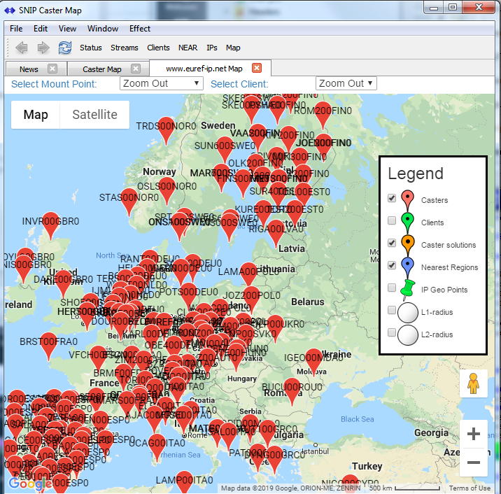
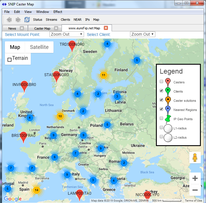
Whenever the SNIP operator clicks on a cluster icon, the map is resized to expose that area of detail. The clustering effect is nested to allow easy navigation down to the point of interest. Pop-up displays then provide further information in the normal way found in prior releases.
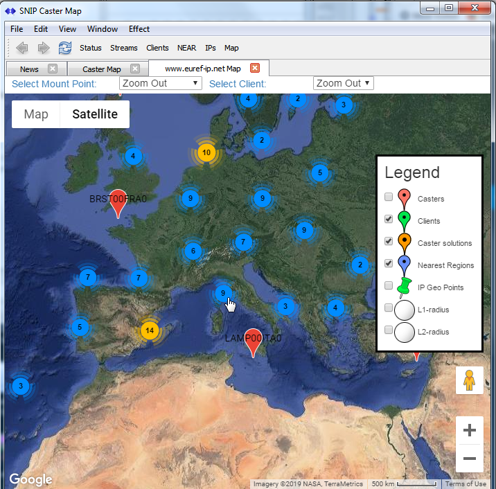
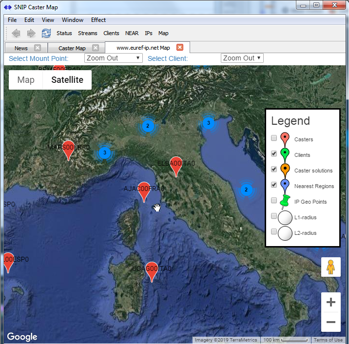
In the above images both the ‘map view’ and the ‘satellite view’ Goggle maps are shown.
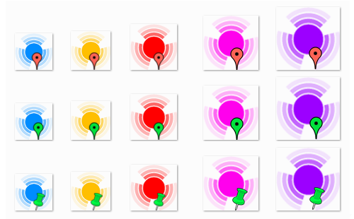
Each cluster type (Base Stations, NTRIP Clients, and IP geo locations) has its own set of cluster markers.